
Grand Mesa at a glance
The Grand Mesa rises above Grand Junction as a forested plateau. The Colorado Department of Transportation describes it at about 11,000 feet (roughly 3,350 m) with more than 300 lakes. That is a rounded figure for the landscape, not one surveyed height for the whole top.
It covers more than 500 square miles and counts as one of the largest flat-topped mountains in the United States. It is a big, cool highland with a very different climate from the desert valley below.
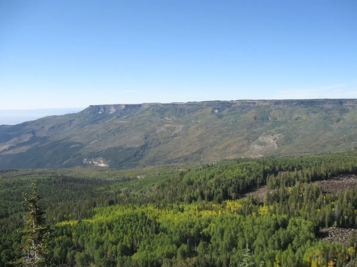
The scenic byway
Highway 65 is the spine, with a side road to Lands End.
The full byway
The route covers 63 miles and takes about 2 hours. It is not all one highway, so do not read the 63 miles as a single stretch of Highway 65.
Highway 65
About 90 minutes of the drive is on Highway 65.
The Lands End spur
The side road to Lands End adds about 30 minutes. Check the road before you drive it, especially outside summer.
Costs
There is no fee to drive the byway. Camping is separate.
For a broader drive that links the mesa with other stops, see the Colorado road trip page.
Grand Mesa tours and scenic drives
Guided mesa days, scenic drives and outdoor trips from Grand Junction, with live prices and availability.
Grand Mesa National Forest and the visitor center
Where to get information in season.
The Forest Service runs the Grand Mesa Visitor Center at 20090 Baron Lake Drive in Cedaredge. It is open 9 a.m. to 5 p.m. every day from Memorial Day weekend to the last Sunday in September, and it closes on federal holidays. Do not plan on it being open outside that season.
Camping is separate from the byway and has its own fees. Because the plateau is so high, weather can turn quickly even on a clear day in the valley.
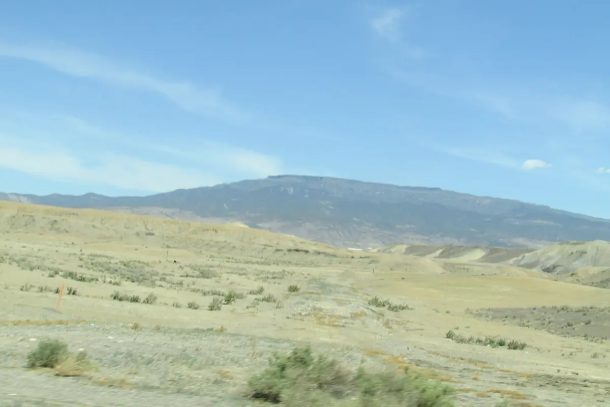
Grand Mesa hiking and the lakes
A highland of forest and water, not a desert hike.
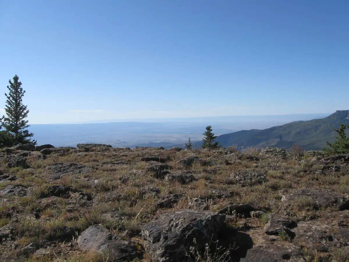
The top of the mesa is a landscape of forest and lakes. Summer walks here are cooler than in the valley, and the views reach back toward Grand Junction. Pick your trail from the visitor center in season. For desert routes at lower elevation, use the hiking page.
Having many lakes does not mean you may swim, boat, walk on ice or fish freely. Rules and licences apply lake by lake, so check before you go.
Winter on the Grand Mesa
Groomed Nordic trails along Highway 65.
| Area | Length | Dogs |
|---|---|---|
| Skyway and County Line together | 30 km groomed | County Line yes, Skyway no |
| Ward | 18.7 km, of which 6.7 km groomed and 12 km not groomed | Yes |
The trailheads sit along Highway 65, about 45 miles from Grand Junction by I-70 and Highway 65. Snow and grooming change day by day, so check conditions before you leave. In a whiteout, navigation gets hard. Dogs need a 6-foot leash at the parking lot and trailhead and must be secured or in sight and under voice control on the trail. Pick up waste.
With a dog, choose County Line or Ward. See the weather page for seasons in the valley.
Grand Mesa: frequently asked questions
How long does the Grand Mesa scenic byway take?
The byway is 63 miles and takes about 2 hours. About 90 minutes of that is on Highway 65, and the Lands End spur adds roughly 30 minutes.
How high is the Grand Mesa?
The top lies at about 11,000 feet, roughly 3,350 meters. It is a rounded figure for the plateau, not one measured height.
How big is the Grand Mesa?
It covers more than 500 square miles and counts as one of the largest flat-topped mountains in the United States.
When is the visitor center open?
From Memorial Day weekend to the last Sunday in September, 9 a.m. to 5 p.m. daily, and closed on federal holidays.
Can I swim in the lakes?
Do not assume so. Having many lakes does not mean general permission for swimming, boating or ice walking. Check the rules for each lake.
Where can I ski?
Nordic skiing is groomed at Skyway, County Line and Ward along Highway 65. Check snow and grooming on the day.